OpenStreetMap setup
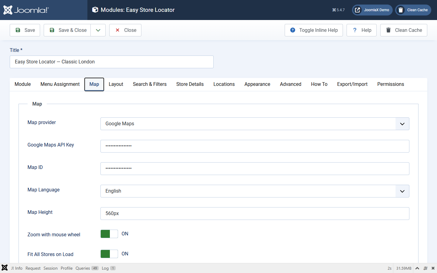
- Module > Map tab > Map provider = OpenStreetMap.
- Leave Google API key and Map ID empty (they are hidden or unused).
- Save, clear cache, open the front end.
- Keep OpenStreetMap attribution visible.
Search and geocoding
- City and ZIP radius search use Nominatim-style geocoding on the front end.
- If Nominatim is blocked or rate-limited, radius search will not resolve the place. Pins that already have coordinates still show.
- For many addresses without coordinates, use Batch Geocoder with Configuration set to Nominatim (light use) or Google (with a server key).
- High-traffic sites should plan a compliant tile source instead of relying only on the public OSM tile endpoint.